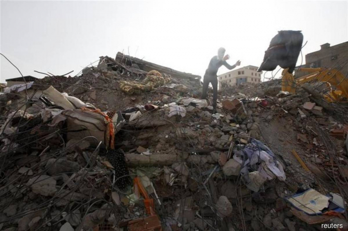
The earthquake was initially recorded at magnitude 6 at a depth of 10 km (6.2 miles), the GFZ German Research Center for Geosciences earlier said.
The Philippines Institute of Volcanology and Seismology (Philvolcs) said it recorded the depth at 15 km, adding that the earthquake was tectonic.
The Southeast Asian country is on the geologically active Pacific Ring of Fire and experiences frequent earthquakes, particularly in the south.
More about: Philippines quake


