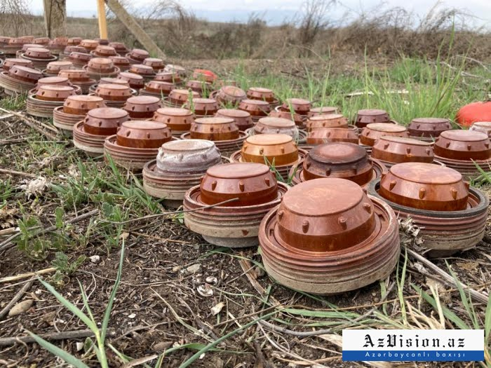
The forms mainly contain information about minefields near Murovdagh ridge in the Kalbajar region.
Under the normative and technical rules, the minefield forms contain coordinates of mines, types of mines, their number, distances between the laid mines, information on the methods of installation.
However, as before, the most recently submitted forms contain inaccurate and incomplete data. After analyzing the forms, it became clear that the data indicated did not match the actual minefields and the coordinates were incorrect and useless.
The accuracy of the data provided by Armenia in 2021 on minefields in Aghdam, Fuzuli, Jabrayil and Zangilan districts was 25 per cent.
"The minefield forms submitted by Armenia cover part of the territories along the former line of contact. No data has yet been submitted on the area along the former line of contact running through the territories of Khojavand, Tartar and Goranboy districts, as well as the territories mined by Armenian armed formations during the retreat in November 2020," ANAMA reported.
ANAMA added that the statistics of mine accidents show a high level of mine contamination not only in the areas along the former line of contact, but also in settlements, agricultural lands, river banks, forest areas, and burial sites.
AzVision.az
More about:


